All official European Union website addresses are in the europa.eu domain.
See all EU institutions and bodiesAn official website of the European Union | How do you know?
Environmental information systems
EN
- БългарскиBG
- češtinaCS
- HrvatskiHR
- danskDA
- NederlandsNL
- ελληνικάEL
- EnglishEN
- eestiET
- SuomiFI
- FrançaisFR
- DeutschDE
- magyarHU
- ÍslenskaIS
- italianoIT
- LatviešuLV
- lietuviųLT
- MaltiMT
- NorskNO
- polskiPL
- PortuguêsPT
- RomânăRO
- slovenčinaSK
- SlovenščinaSL
- EspañolES
- SvenskaSV
- TürkçeTR
The Green Background of Europe
Map (static)
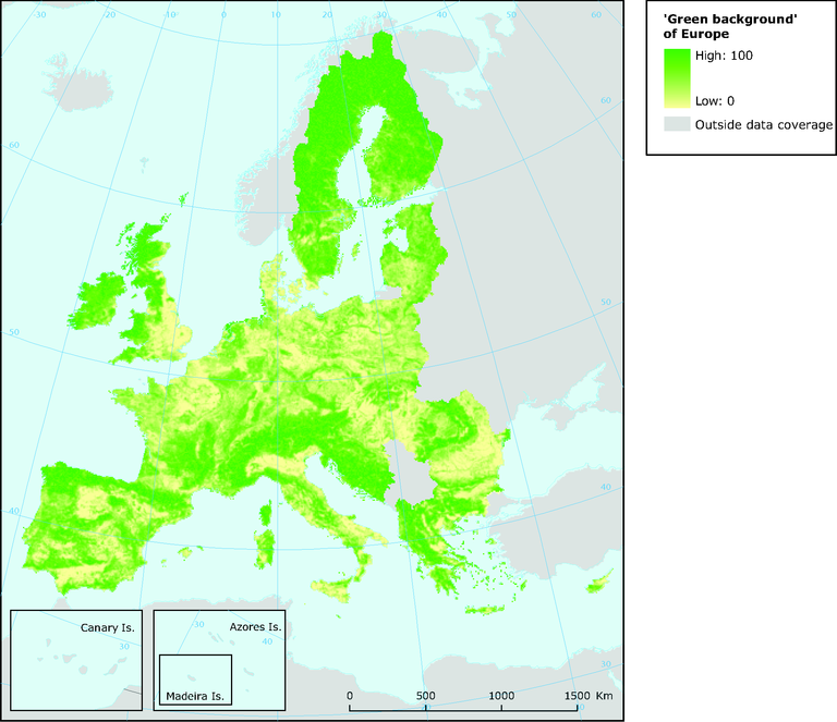
Conceptual grouping of CORILIS layers to approach european green areas (10 km radius)

Downloads
Data sources
Metadata
More info
Loading
Methodology
Applied procedures: The map combines the stock estimates for pastures, mosaic agriculture, forests, dry semi-natural and natural land, wetlands and water bodies. The smoothing radius of 10 km has been used to calculate the extent (%) of these cover types within 10 km of each point (see Section 8.3.1). The resulting density of green surfaces has been mapped as a continuum from high to low.