All official European Union website addresses are in the europa.eu domain.
See all EU institutions and bodiesAn official website of the European Union | How do you know?
Environmental information systems
EN
Attaining the EU’s 2030 climate target and achieving climate neutrality in 2050 relies on reducing emissions and increasing removals from the land sector. Policymakers across all Member States therefore need to be able to design targeted policies and incentives that allow the land sector to exploit carbon removals and emission reduction potentials.
The design and adjustment of these policies requires timely and accurate monitoring systems that allow tracking of improved land management practices and their impact on carbon stocks.
The LULUCF Regulation places a strong emphasis on improving the quality of monitoring and reporting.
Why Improving Monitoring and Reporting Matters
An improved quality of monitoring and reporting matters because it is a prerequisite to compliance checks against the targets set by the LULUCF Regulation. A comprehensive monitoring can help the integration with other policies. Finally, monitoring is an essential tool to support informed decision-making by policymakers.
GHG inventories contain information on the level of emissions and removals in each year and on the trend of emissions and removals across the time series of inventory years. Estimating emissions and removals in the LULUCF sector requires accurate measurement of the land areas associated with a specific land use and with land-use changes (activity data) and the sequestration and emission factors linked to these land uses and management types (emission factors).
Standardized methodologies for estimating emissions and removals from LULUCF are provided by the IPCC. This includes:
- 2006 IPCC Guidelines Volume 4
- the 2013 IPCC Wetlands Supplement
- the 2013 Revised Supplementary Methods and Good Practice Guidance Arising from the Kyoto Protocol, and
- the 2019 Refinement to the 2006 IPCC Guidelines for National Greenhouse Gas Inventories).
Key Reporting Guidance

Tier levels
Methods to estimate GHG emissions and removals can vary significantly regarding the level of complexity. The IPCC Guidelines refer to different “Tier levels” ranging from the use of global default values and international statistics (Tier 1) to the use of national data (Tier 2) and advanced methods based on data from field measurements and modelling (Tier 3).

Geospatial Monitoring
Geospatial or geographically-explicit data is information that is referenced and stored in a manner that it can be mapped and localised with a certain precision. Geospatial monitoring plays a crucial role in improving land management by offering several key advantages to enhance the LULUCF policy implementation. Geographically-explicit datasets can be land cover maps, remote sensing products or data collected by sampling of geographically located points (e.g. National Forest Inventories).

Natural Disturbances
The land sector is affected not only by management decisions of humans but also by natural processes. Extreme events such as windfalls of trees through storms, insect outbreaks or fires in forests can significantly affect the GHG inventories of countries in single years. Under climate change, intensity and frequency of natural disturbances is expected to increase.

Interoperability in LULUCF
Interoperability is the foundation of a reliable and future-proof EU LULUCF monitoring system. It ensures that land-use information collected for agriculture, forestry, soil and biodiversity can be translated into climate-relevant categories in a consistent and transparent manner. By improving legal, organisational, semantic and technical alignment, the EU can transform fragmented national datasets into a coherent land monitoring framework that supports credible greenhouse-gas inventories and strengthens confidence in European Climate Action.
Publications
The publications available across this website cover a range of individual and cross-cutting topics specifically related to LULUCF.
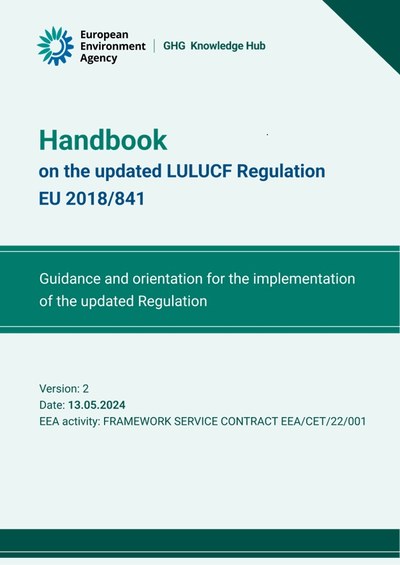
To support Member States in the implementation of the revised LULUCF Regulation, the European Commission, DG CLIMA and the EEA tasked a consortium of contractors to prepare a Handbook to provide guidance and orientation for the implementation of the updated regulation.
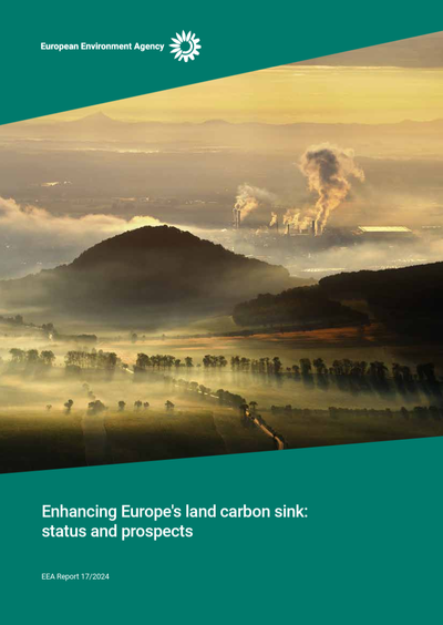
This report provides a description of the land use, land use change, and forestry (LULUCF) sector , as a relatively new sector in EU climate governance.