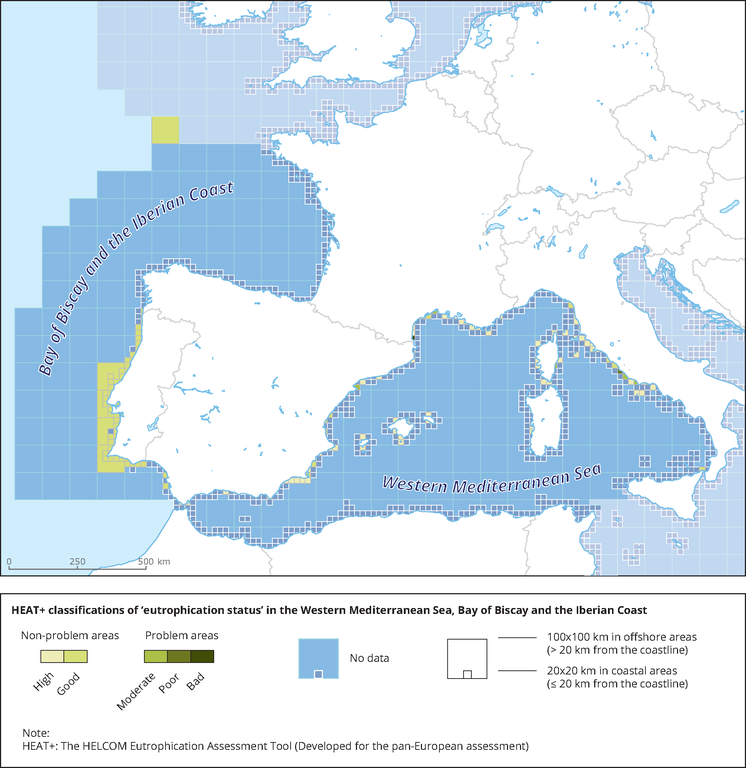
Figure
HEAT+ classifications of 'eutrophication status' in the Western Mediterranean Sea, Bay of Biscay and the Iberian Coast
Download
- 107838_MAPA7.4-MAP-EUTROPHICATION-Status-W-Mediterranean-Sea.eps.75dpi.gif (749.5 KB)
- 107838_MAPA7.4-MAP-EUTROPHICATION-Status-W-Mediterranean-Sea.eps.75dpi.tif (11.9 MB)
- 107838_MAPA7.4-MAP-EUTROPHICATION-Status-W-Mediterranean-Sea.eps.75dpi.png (125.8 KB)
- Original file application/postscript (6.59 MB)
Permalinks
- Permalink to this version
- 3790a7e558964d448cd69c7f83b8dd2b
- Permalink to latest version
- EQOTXJG2B9
Geographic coverage
Temporal coverage
For references, please go to https://www.eea.europa.eu/data-and-maps/figures/heat-classifications-of-eutrophication-status-3 or scan the QR code.
PDF generated on 28 Feb 2021, 02:39 AM
Document Actions
Share with others