All official European Union website addresses are in the europa.eu domain.
See all EU institutions and bodies
An official website of the European Union | How do you know?
Environmental information systems
EN


Discover the new CLCplus LULUCF Instance — a geospatial product designed to support greenhouse gas reporting and other LULUCF applications across the EEA38 area.
Related content

The LULUCF data catalogue provides access to geospatial datasets related to LULUCF. The datasets are available through the EEA Datahub, EEA meta data catalogue (SDI) and other sources. They support analysis relevant to LULUCF.
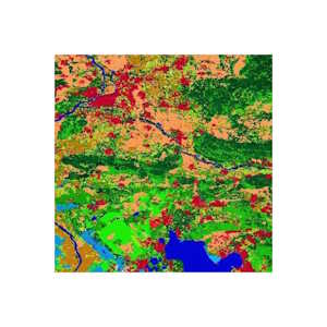
Land Use, Land Use Change & Forestry dataset

Geographical information on land cover and its changes, land use, ground motion, vegetation state, water cycle and earth surface energy variables for both Europe and the entire globe.