All official European Union website addresses are in the europa.eu domain.
See all EU institutions and bodiesAn official website of the European Union | How do you know?
Environmental information systems
EN
Copernicus is the European Union's Earth observation programme, looking at our planet and its environment to benefit all European citizens. It offers information services that draw from satellite Earth Observation and in-situ (non-space) data.
Copernicus land services need both satellite images and in-situ data in order to create reliable products and services.
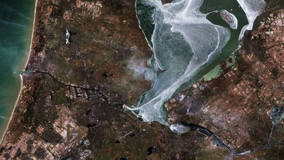
Satellite imagery forms the input for the creation of many information products and services, such as land cover maps or high resolution layers on land cover characteristics. Having all the satellite imagery available to cover 39 countries of EEA (EEA39), the individual image scenes have been processed into a seamless pan-European ortho-rectified mosaics. The Copernicus Land Monitoring Service also provides access to Sentinel-2 Global Mosaic service.
Explore Copernicus datasets
Copernicus land datasets

Copernicus datasets on biodiversity

Copernicus datasets on land use