All official European Union website addresses are in the europa.eu domain.
See all EU institutions and bodiesAn official website of the European Union | How do you know?
Environmental information systems
EN
The EEA is an agency of the European Union. Together with our Eionet network, we provide the knowledge and the data needed to achieve sustainability in Europe.
Shortcuts
Who we are
Our role, how we work, our governance structure

Key partners
Our partners and stakeholders across Europe and beyond
Procurement and grants
How to engage with the EEA through public procurement procedures
Careers
Check out our job openings and how to apply

Working practices
Browse our register of documents and learn more about our procedures and policies
Contact us
Our FAQs and contact information
The EEA in brief
"The European Environment Agency in brief" presents our role as an agency that supports European environmental policy.
Find out more about what we work on, our strategic priorities, our key outputs, our key services and publications, and what it’s like to work at the EEA.
In focus

The European Environment Agency in brief presents our role as an agency that supports European environmental policy. It outlines what we work on, our strategic priorities, our key outputs, our key services and publications, and what it is like to work at the EEA.
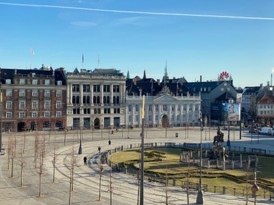
We offer a dynamic and engaging workplace in the heart of Copenhagen, empowering our employees to thrive and ensuring that their well-being is supported.
Browse through our vacancies and join our team to contribute to Europe's sustainability efforts.